OE/OO-070 Windhagkogel
Windhagkogel — grass up to the hip
1,334 metres, poorly signposted, and in the tall grass there was nothing left to see of the actual path. Then two minutes of hail on the summit.

The Windhagkogel sits in the SOTA list at 1,334 metres, reference OE/OO-070, locator JN67xu, four points. On paper, a manageable affair.
Where’s the path?
The signposting is poor — and that’s still the polite way to put it. But something else mattered more: by late July the grass stands hip-high, and the actual trail vanishes completely inside it. No footprint, no groove, nothing to see. You walk through a meadow and hope there’s a path underneath.

I wouldn’t walk this without a navigation device. Not because it’s dangerous, but because without any trace on the ground you simply have no way to tell whether you’re still on course. The route on the device replaces what the grass hides.
Equipment, light
This was a deliberately small kit — everything that went up the mountain fits on one board:
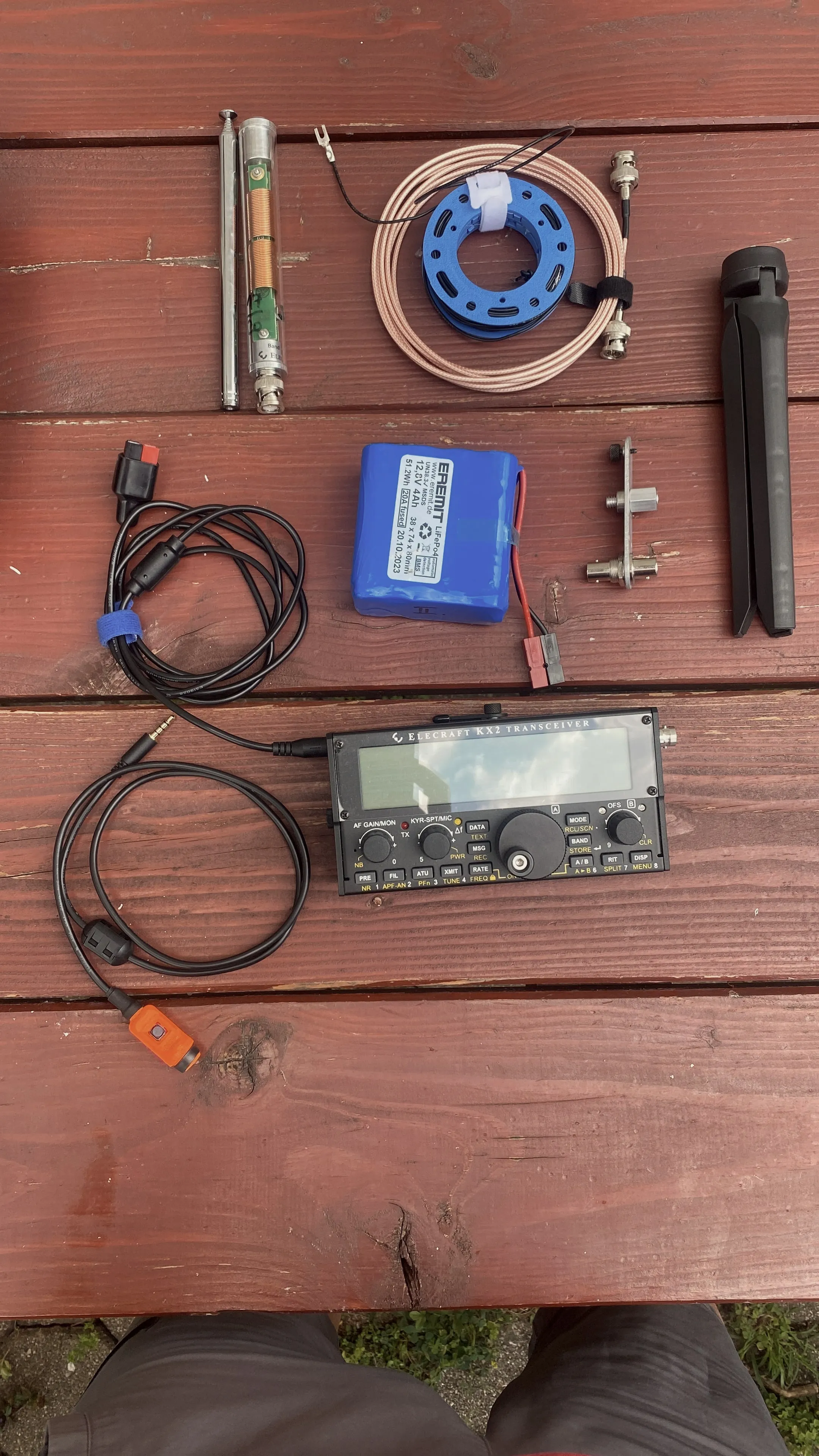
The KX2 as the radio, plus a LiFePO₄ at 12.8 volts and 4 amp-hours — 51.2 watt-hours, a good 200 grams, and generously sized for an afternoon. As antenna a telescopic whip with loading coil, one radial as counterpoise, a short thin coax on a reel. Plus a clamp mount and folding legs so the whip stands without a tree.
The microphone is from OE5JFE — thanks again to Jo. The orange button in the cable is exactly what you want on a mountain: you find it without looking.
On top
40 metres, 7.190 MHz SSB, log kept on paper. No screen, no computer, no connection to the network.
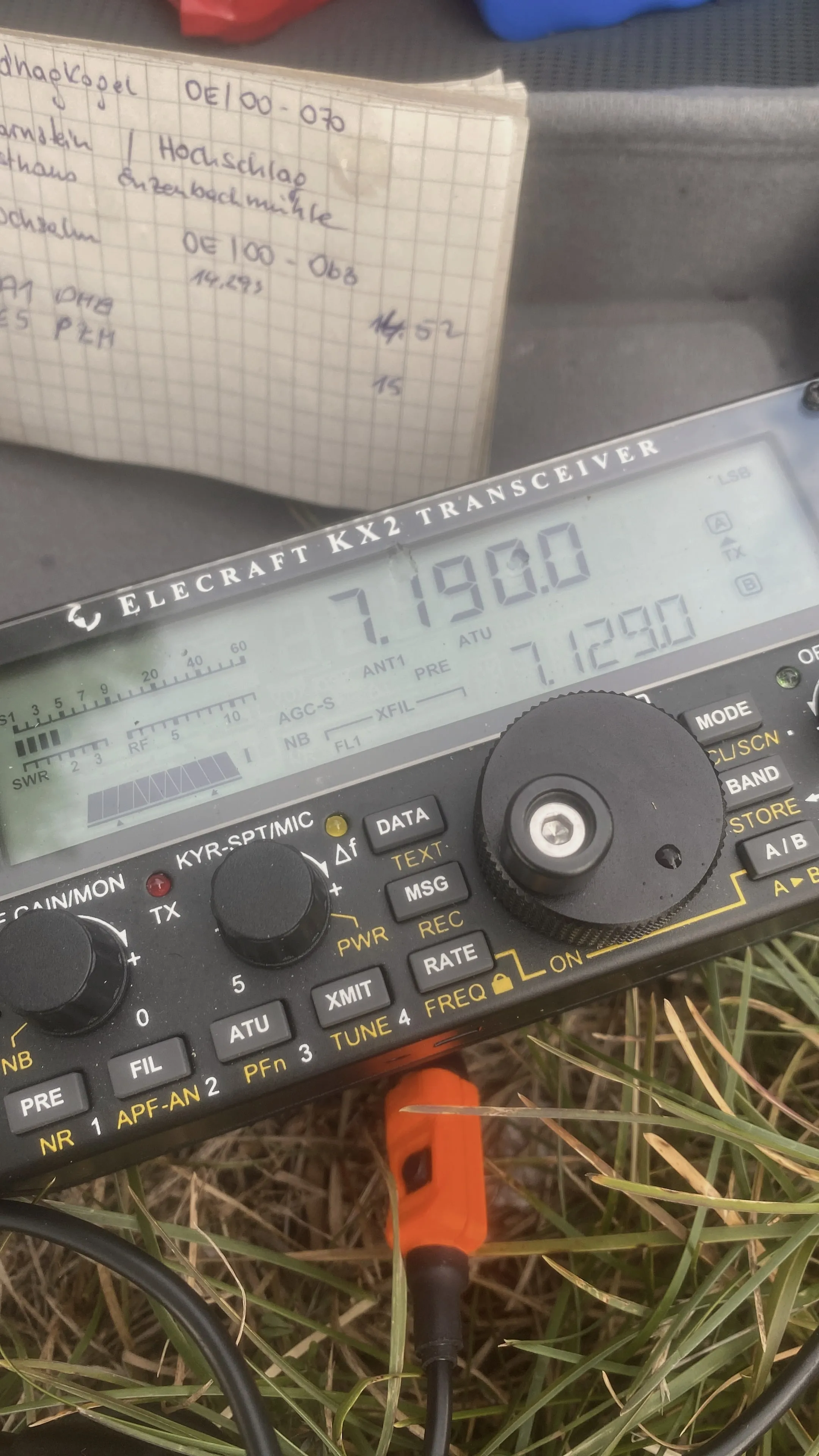
And then, right in the middle of it, two minutes of hail. Unannounced, not threatening, just a shower that swept over the summit and was gone again. Long enough to stow everything under a jacket, short enough to carry on right after.
Four points for a mountain that takes your path away and then throws ice at you for good measure. Fair enough.
What came along
- RadioElecraft KX2
- BatteryEREMIT LiFePO₄, 12.8 V · 4 Ah · 51.2 Wh
- AntennaTelescopic whip with loading coil, one radial
- Feed linethin coax on a reel, BNC
- Microphonefrom OE5JFE
73 · OE5SOS