OE/OO-413 Brenntenkogel
Brenntenkogel above Ebensee
1,135 metres, four points, and a path that stops being one near the top. Raspberries as far as the arm reaches, though.
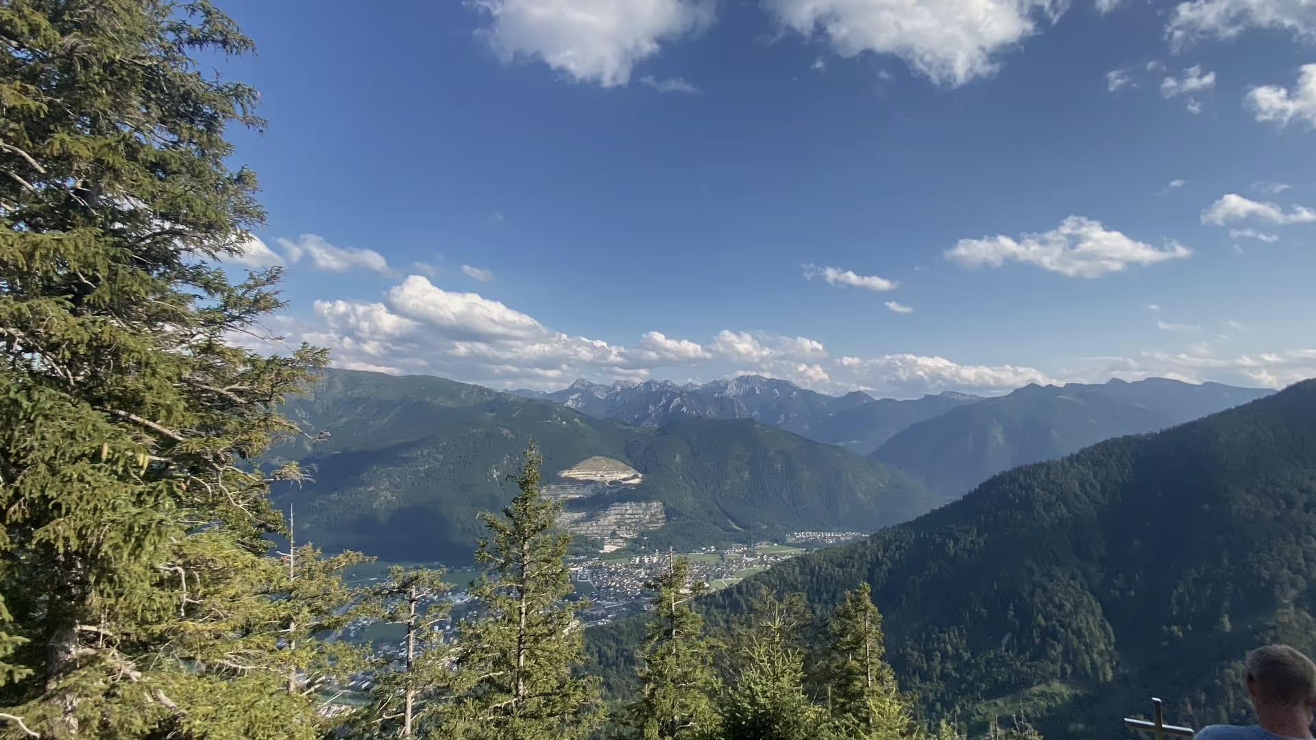
A pleasant mountain that almost nobody climbs. The Brenntenkogel stands northwest above Ebensee, 1,135 metres, locator JN67vt — four points in the SOTA scoring. From the valley you can barely make it out as a summit of its own; it’s more the high point of a long, forested ridge.
Which is exactly why nobody goes there. Not one other person on the whole route.
The path
Down low, everything’s fine. Forest track, trail, straightforward. In the upper section the waymarking practically stops — what’s still there is old and rarely where you need it. You end up going by terrain and by feel, and both work here because the ridge itself sets the direction.
Still: anyone doing this for the first time should have the route on their device. There are spots where two plausible continuations sit side by side and only one of them actually goes anywhere.
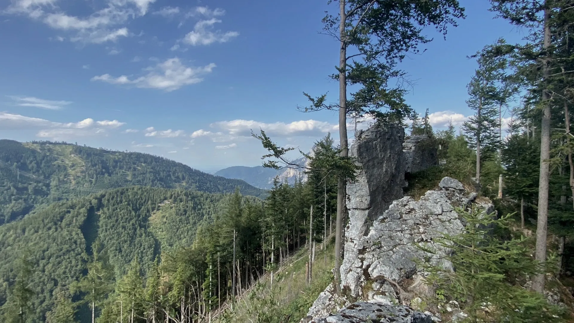
The forest has been logged in stretches. Looks rough, but it opens the view — halfway up you suddenly stand free above the valley, something that never happens on a ridge covered in unbroken forest.
Raspberries
And where the forest was cleared, the raspberries stand. Right along the path, dense bushes for hundreds of metres, ripe in July. It’s hard to get past them without slowing down.
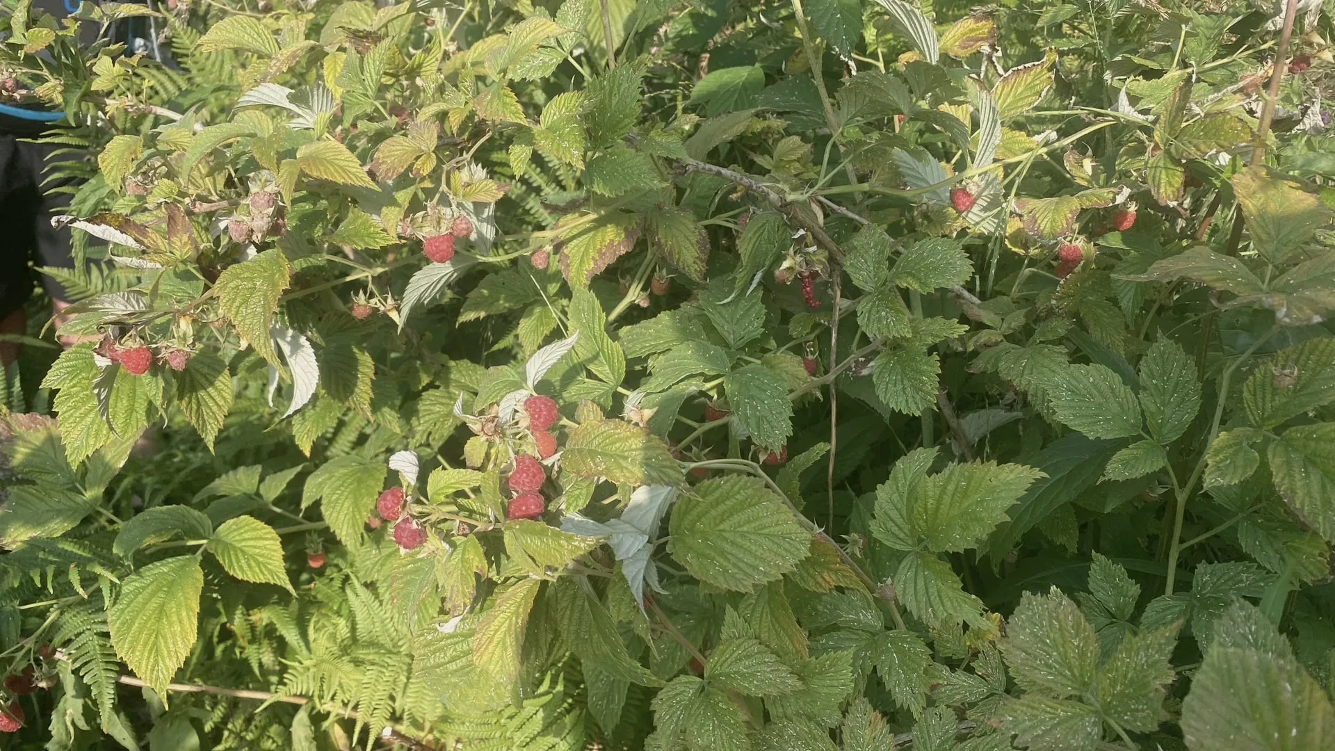
That’s the real reason to come here in July.
On top
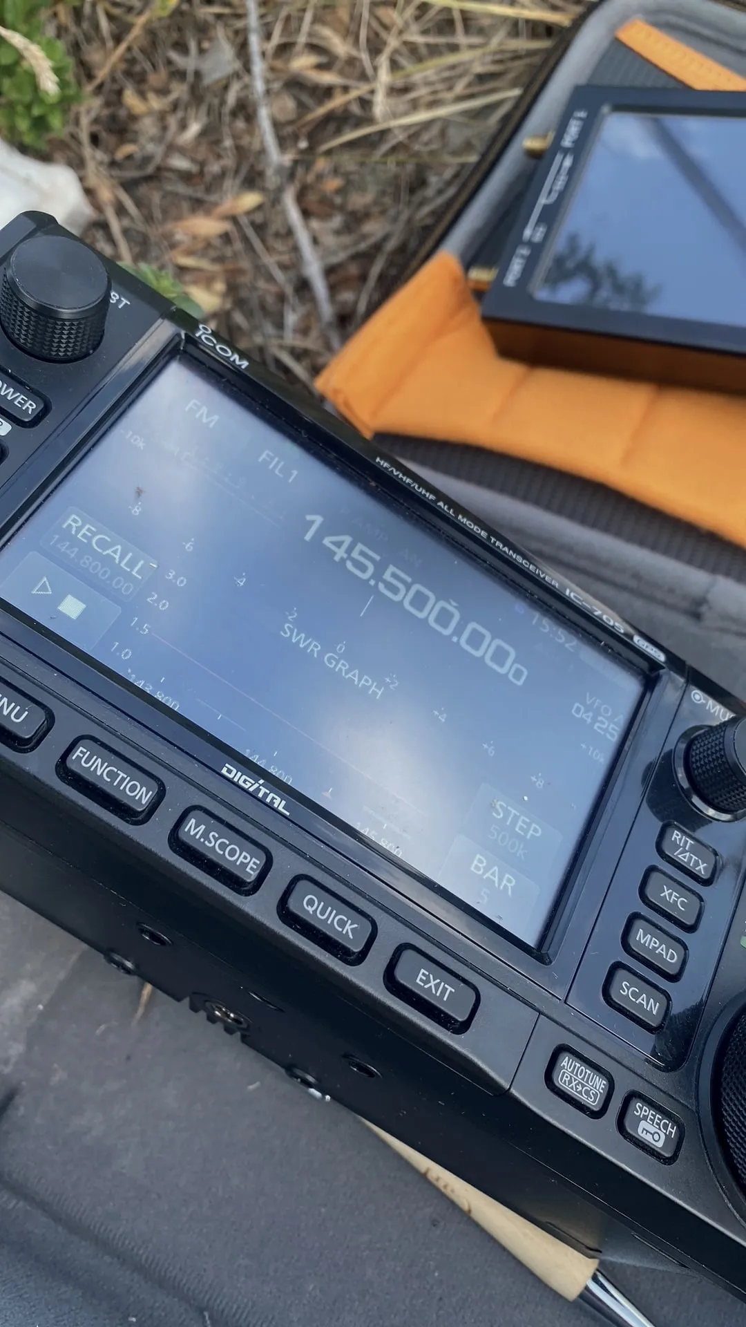
Short business at the summit: IC-705, 145.500 in FM, a omnidirectional whip on a pole. Plus a look at the SWR sweep before starting — with an antenna that spent half the climb in the backpack, that’s a minute not wasted.
Down into the valley you look southeast to Ebensee, the range continuing behind it. A summit that gives back surprisingly much for its height — and leaves you the whole afternoon to yourself.
73 · OE5SOS